Mohican State Park
Loudonville, Ohio 1 of 12
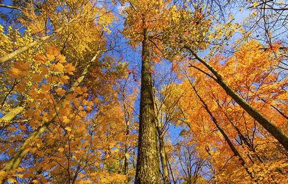
Don't miss a chance to run through trails that wind through this park of 1,110 acres. The Clear Fork Branch of the Mohican River weaves five miles through this state park and forest. Different distances and levels of difficulty offer trails for anyone: a 1.5-mile hike along the river from the covered bridge to the Pleasant Hill Dam is family friendly, while a trail starting at the covered bridge that follows up the hillside to the Fire Tower is considered difficult.
Dawkins Line Rail Trail
Johnson and Magoffin counties, Kentucky 2 of 12
Coming in at 18 miles long, this is the longest rail-to-trail in the state,. After completion of the trail's second phase, it will expand to 36 miles. The first 18-mile leg takes you from Hargerhill in Johnson County to Toyalton in Magoffin County. Hikers, runners, cyclists and horseback riders traverse this trail, which goes through the 662-foot-long Gun Creek Tunnel, formerly the Dawkins Line railroad bed.
Bill Nicholls Trail
Houghton County, Michigan 3 of 12
This trail covers 41.5 miles of ground, offering scenery and challenges along the way. See branches of the Firesteel River, as much of this route follows the Copper Range Railroad line. Some parts have level surfaces, others have steep grades and erosion to keep you focused. On one end of the trail, you'll come across a scenic overlook over the Portage Lake Ship Canal, which played a big role in the copper mining industry.
Calumet Trail
Porter County, Indiana 4 of 12
Nine miles weave through wetlands near Lake Michigan's south shore. Run over well-used, crushed limestone on this route, which parallels U.S. Highway 12. It borders the southern edge of Indiana Dunes State Park and the Indiana Dunes National Lakeshore. The trail ranges from narrow to wide, and it's best to have your route mapped before heading out. Historically, Native Americans used this transportation corridor as a route to the Mississippi River.
400 State Trail
Juneau and Sauk counties, Wisconsin 5 of 12
Crushed limestone covers the 22 miles of this trail that features wetlands, wildlife, sandstone bluffs, croplands and pastures. The trail gets its name from the Chicago-Northwestern passenger train that ran on this grade and traveled the 400 miles between Chicago and Minneapolis/St. Paul in 400 minutes.
Constitution Trail
Bloomington, Illinois 6 of 12
This sounds like a trail everyone needs to run, right? So named because of its dedication on the 200th anniversary of the U.S. Constitution, this trail spans just more than 36 miles. Asphalt and crushed stone cover this trail that makes a great outing any time of year. (Of course, locals take to it by cross-country skiing in the winter.) Lined with trees, this trail passes a fishing pond and native prairie grassland.
Minnesota River Bottoms
Bloomington, Minn. 7 of 12
The seven miles of this trail mostly follow the Minnesota River, with the exception of occasional splits. Most of the trail is flat, but it can change with the sandy conditions. The trail can overflow with old sand bars and anything else an overflowing river can produce.
Cinder Path
Lucas and Wayne counties, Iowa 8 of 12
This path of cinder and crushed stone stretches between two towns in southern Iowa: Cheriton and Humeston. It was Iowa's first rails-to-trails conversion in 1974. There are 13.5 miles of trail for you to find a good length to run following the Chariton River and being shaded by dense tree cover.
Frisco Highline Trail
Springfield to Bolivar, Missouri 9 of 12Two-thirds of this 35-mile trail comprises gravel, but four miles are paved and there's a short on-street connection. Harry Truman took this route in 1948 in his private railroad car, warming up for the famous Whistlestop campaign that would get him re-elected president. This route winds through woods and pastures, crossing 16 bridges on its way across two counties.
Buffalo Gap Trail
Medora, North Dakota 10 of 12
Take on 12 miles of excellent running trails past the south unit of Theodore Roosevelt National Park. Just beyond the 16-mile mark is a climb of 692 feet with a maximum elevation of 2,606 feet.
Sylvan Lake Harney Peak
Custer, South Dakota 11 of 12
This 7-mile (round trip) trail features a scenic lake and a moderate route. This popular trail with an elevation of 5,166 feet is also accessible year-round. Flowers and rock formations will keep your eyes entertained on the trek. The top of the peak offers views of Little Devils Tower and the surrounding area.
Get ACTIVE on the Go


Couch to 5K®
The best way to get new runners off the couch and across the finish line of their first 5K.
Available for iOS | Android


Discuss This Article